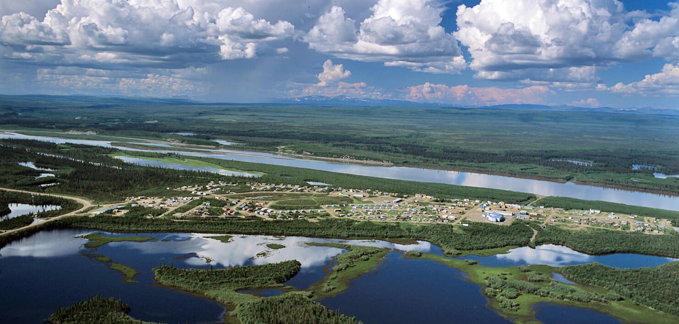
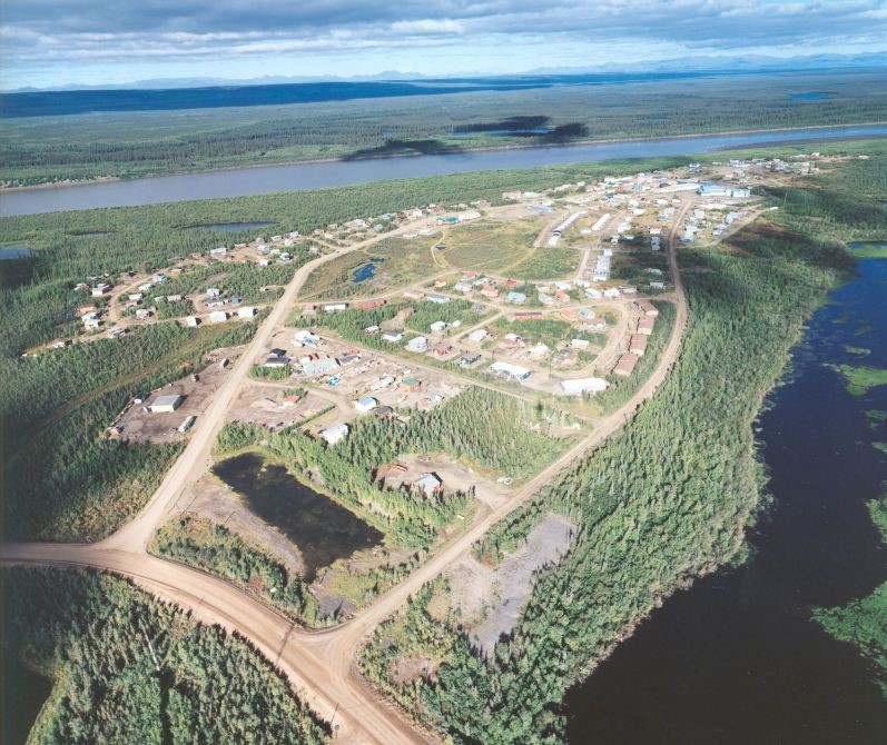
Landscape and Geography

Fort McPherson, is an hamlet within the Inuvik Region of the Northwest Territories with a population of about 600 people. It is situated along the Peel River, approximately 121 km (75 mi) south of Inuvik. Fort McPherson's geographical coordinates are approximately 67°26′N 134°53′W. The landscape around Fort McPherson consists mainly of Arctic tundra, with low-lying vegetation and numerous small lakes and rivers. The hamlet is located near the Richardson Mountains to the west, which are part of the larger Mackenzie Mountains range. The Peel River, which runs alongside Fort McPherson, is part of the vast Mackenzie River system, the longest river system in Canada.

Climate

Fort McPherson has a subarctic climate (Köppen climate classification: Dfc). The hamlet experiences long, cold, and snowy winters, as well as short, cool summers. The average low temperature in January, the coldest month, is around -31°C (-24°F), while the average high temperature in July, the warmest month, is about 20.2°C (68.4°F). Precipitation is relatively low throughout the year, with an annual average of approximately 297 mm (11.72 inches). Snowfall typically occurs from October to April, while the summer months see more rainfall. Though Fort McPherson is located south of the Arctic Circle, it still experiences significant variations in daylight hours throughout the year due to its northern location. The longest day of the year, around the summer solstice in June, has about 21 hours of daylight, while the shortest day, around the winter solstice in December, has only around 3 hours of daylight.