Landscape and Geography

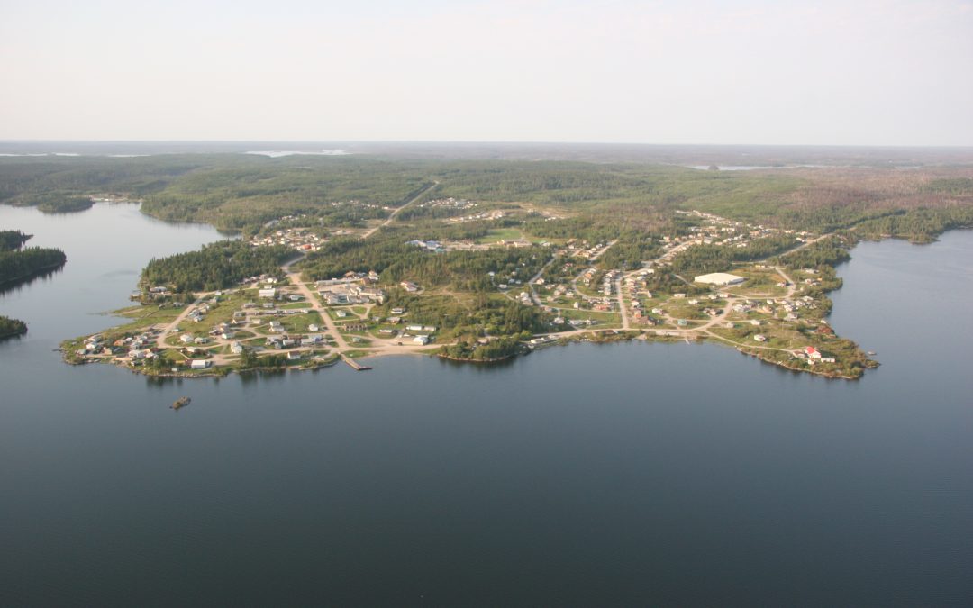
Pelican Narrows is surrounded by the Canadian Shield, which is characterized by vast boreal forests, numerous lakes, and rocky outcrops. The landscape is dominated by coniferous and deciduous trees, as well as wetlands and smaller water bodies. The area is rich in wildlife, and its natural beauty makes it a popular destination for outdoor enthusiasts, offering activities such as fishing, hunting, and canoeing. The Churchill River, which runs through the community, is part of a larger network of lakes and rivers that form an essential transportation route and provide essential resources for the local population. The river and its surrounding lakes are home to a variety of fish species, including walleye, northern pike, and lake trout.

Climate

Pelican Narrows has a subarctic climate (Köppen climate classification: Dfc) with long, cold winters and short, cool summers. The average temperature in January, the coldest month, is around -22°C (-8°F), while the average temperature in July, the warmest month, is about 16°C (61°F). Precipitation is relatively moderate throughout the year, with an annual average of around 400-500 mm (16-20 inches). Snowfall typically occurs from October to April, while the summer months see more rainfall. Given the northern location of Pelican Narrows, the community experiences significant variations in daylight hours throughout the year. The longest day of the year, around the summer solstice in June, has about 17 hours of daylight, while the shortest day, around the winter solstice in December, has only around 8 hours of daylight. Overall, Pelican Narrows offers a unique blend of geography and climate, characterized by its boreal forest landscape and subarctic climate conditions. The community's location along the Churchill River makes it an important hub for both traditional and modern activities, as well as a destination for those seeking to experience the natural beauty of the region.