Landscape and Geography
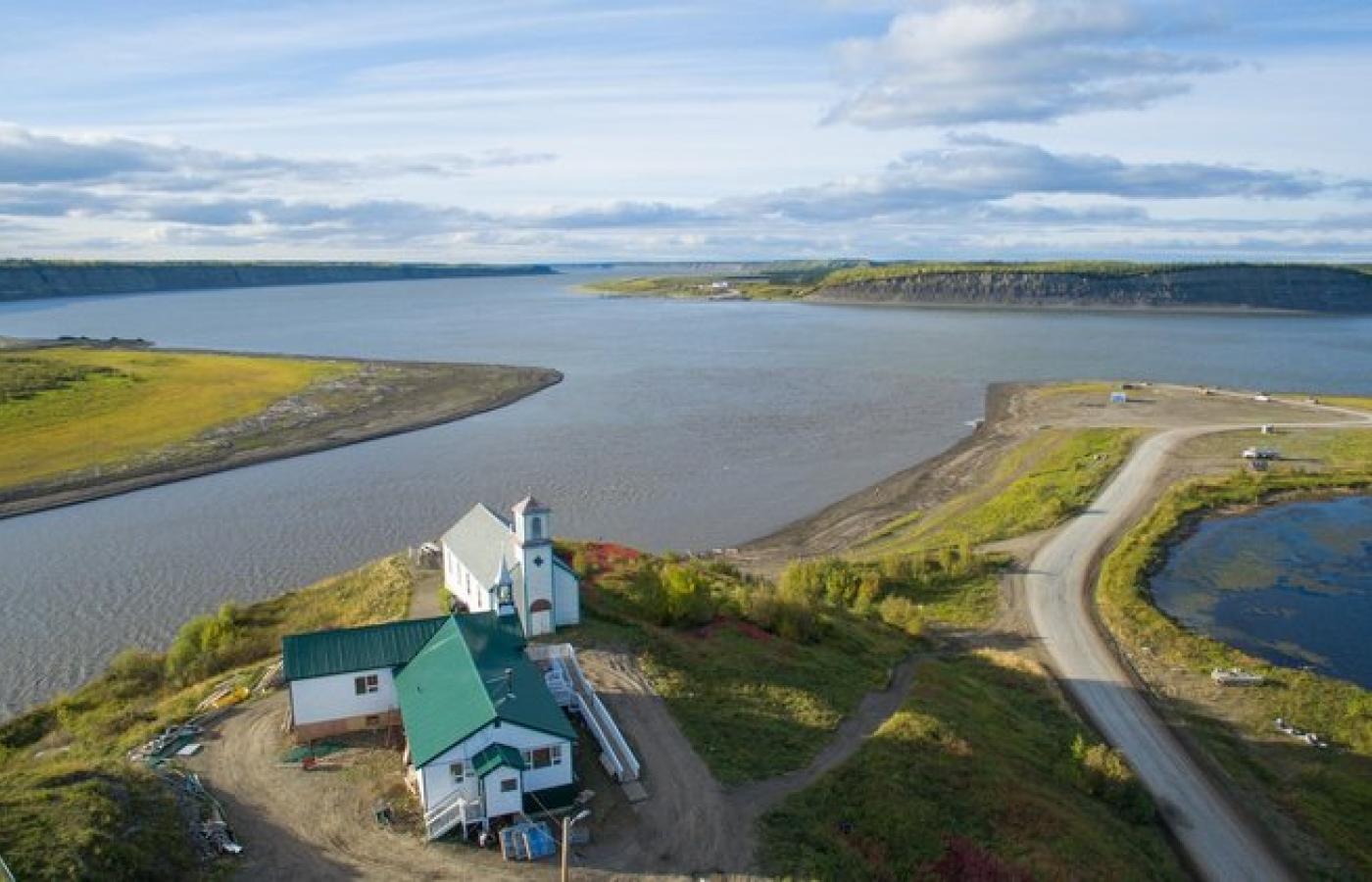
Tsiigehtchic, formerly known as Arctic Red River, is a small Gwich'in community located in Northwest Territories. It is situated at the confluence of the Mackenzie River and the Arctic Red River, approximately 134 km (83 mi) south of the Arctic Circle. Tsiigehtchic's geographical coordinates are approximately 67°26′N 133°44′W. The landscape around Tsiigehtchic is characterized by Arctic tundra, with low-lying vegetation and numerous small lakes and rivers. The region is relatively flat, with some rolling hills. Tsiigehtchic is located in the Mackenzie Delta area, which is the largest delta in Canada and the second-largest in the Arctic. The town is surrounded by a vast network of channels, lakes, and wetlands that support diverse flora and fauna.In the 2021 Census by Statistics Canada, Tsiigehtchic had a population of 138 living in 59 of its 73 total private dwellings