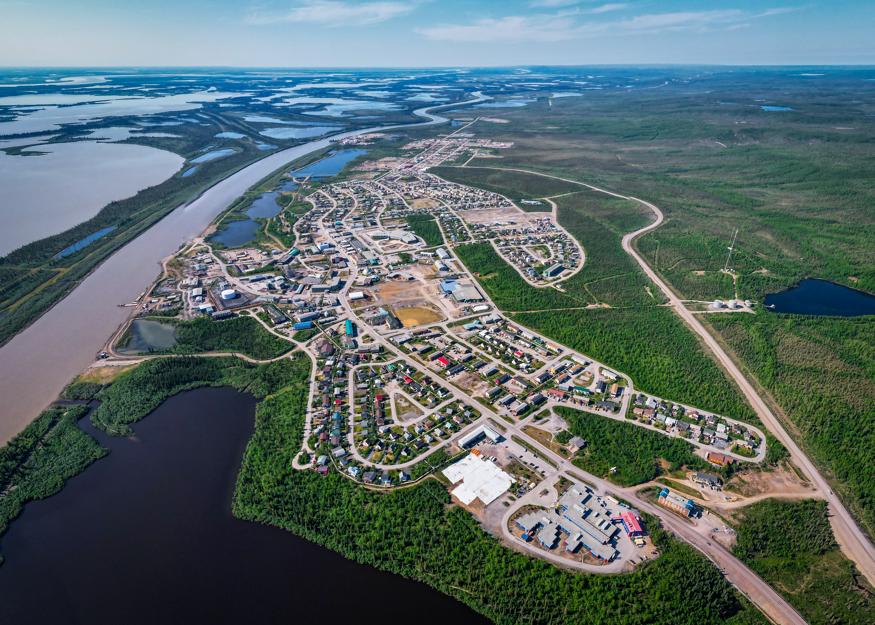
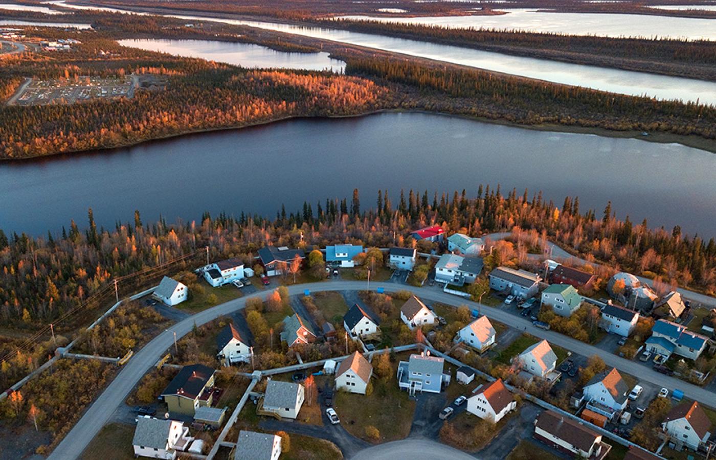
Landscape and Geography

Inuvik is a town in Northwest Territories. It lies north of the Arctic Circle, approximately 200 km from the Arctic Ocean, and is situated on the East Channel of the Mackenzie Delta at the confluence of the Mackenzie River and the East Channel. Inuvik's geographical coordinates are approximately 68°21′N 133°43′W. Geography: The landscape surrounding Inuvik is dominated by the Mackenzie Delta, which is the largest delta in Canada and the second-largest in the Arctic. The delta is characterized by numerous channels, lakes, and wetlands that support diverse flora and fauna. The region is mostly flat, with some rolling hills and low-lying vegetation. The tree line lies to the south of Inuvik, marking the boundary between the Arctic tundra and boreal forest.

Climate

Inuvik has a subarctic climate (Köppen climate classification: Dfc). The town experiences long, cold, and snowy winters and short, cool summers. The average low temperature in January, the coldest month, is around -31°C (-23.8°F), while the average high temperature in July, the warmest month, is about 19.5°C (67.1°F). The town receives relatively low precipitation throughout the year, with an annual average of around 295 mm (11.6 inches). Snowfall is common from October to April, while the summer months typically see more rainfall. Inuvik's location above the Arctic Circle results in unique daylight patterns. The town experiences the midnight sun (average of 56 days), or continuous daylight, from late May to mid-July. Conversely, the polar night, or continuous darkness, occurs from late November to mid-January( 30 days of polar night every winter).